A Native Hawaiian Place of
Learning for Voyagers of the World
Menu
MENU
Menu
Ho’okele, meaning “to steer,” is also the term for navigator and voyager. When we think about steering a wa’a kaulua (double-hulled canoe), what comes to mind is the hoe uli, the long steering paddle that guides the canoe along the ala kai, or “sea road.”
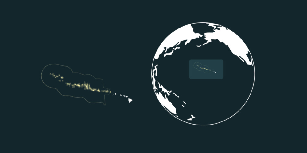
Globe view to see where Papahānaumokuākea is in the world.
Map view to see what islands make up Papahānaumokuākea.
Previous
Next
Papahānaumokuākea
Papahānaumokuākea is considered a sacred area, from which Native Hawaiians believe all life springs, and to which spirits return to after death.
It is the largest contiguous fully protected conservation area under the U.S. flag, and one of the largest marine conservation areas in the world. It encompasses 582,578 square miles of the Pacific Ocean (1,508,870 square kilometers) – an area larger than all the country’s national parks combined.
Cited from the Papahānaumokuākea Marine National Monument
Sense of Place
Learn about Papahānaumokuākea through song, stories and art. Click on the links below to explore the islands.
As wayfinders prepare to embark on a journey across the Pacific they will face the dilemma of what to pack for the long voyage. Learn what actual crew members bring along and what they choose to leave behind.
When sailing, wayfinders must be aware of where the sun rises and sets in order to ensure they’re hading in the right direction. Learn about the location of the sun throughout the year and how it’s position helps wayfinders navigate the ocean.